
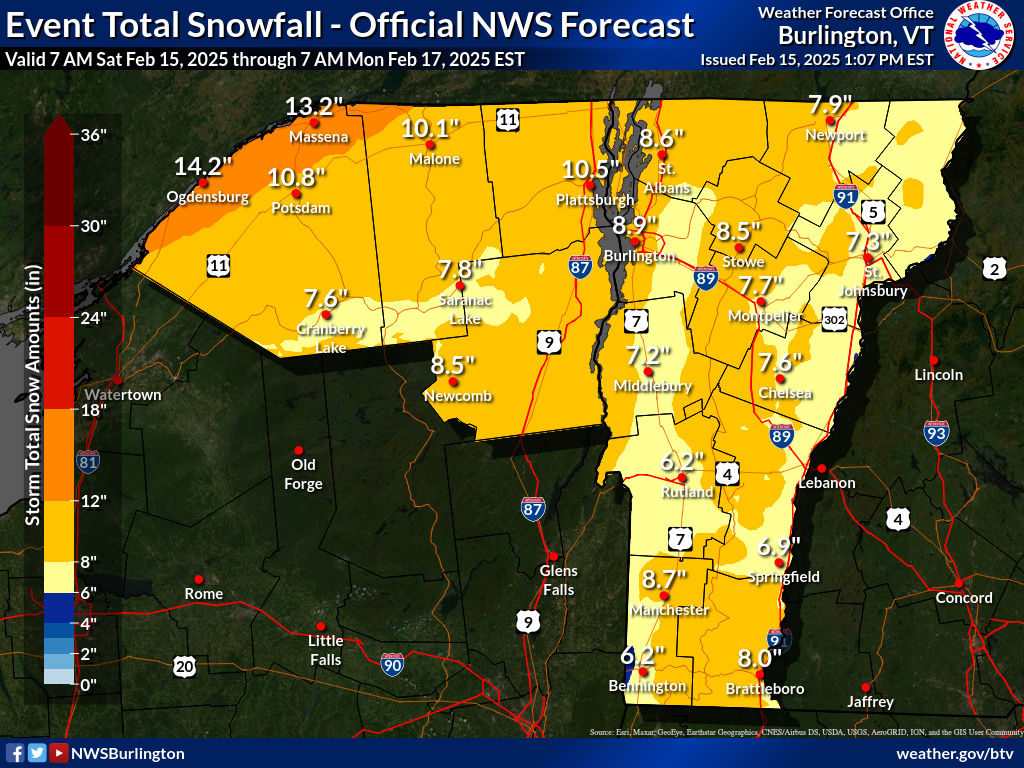
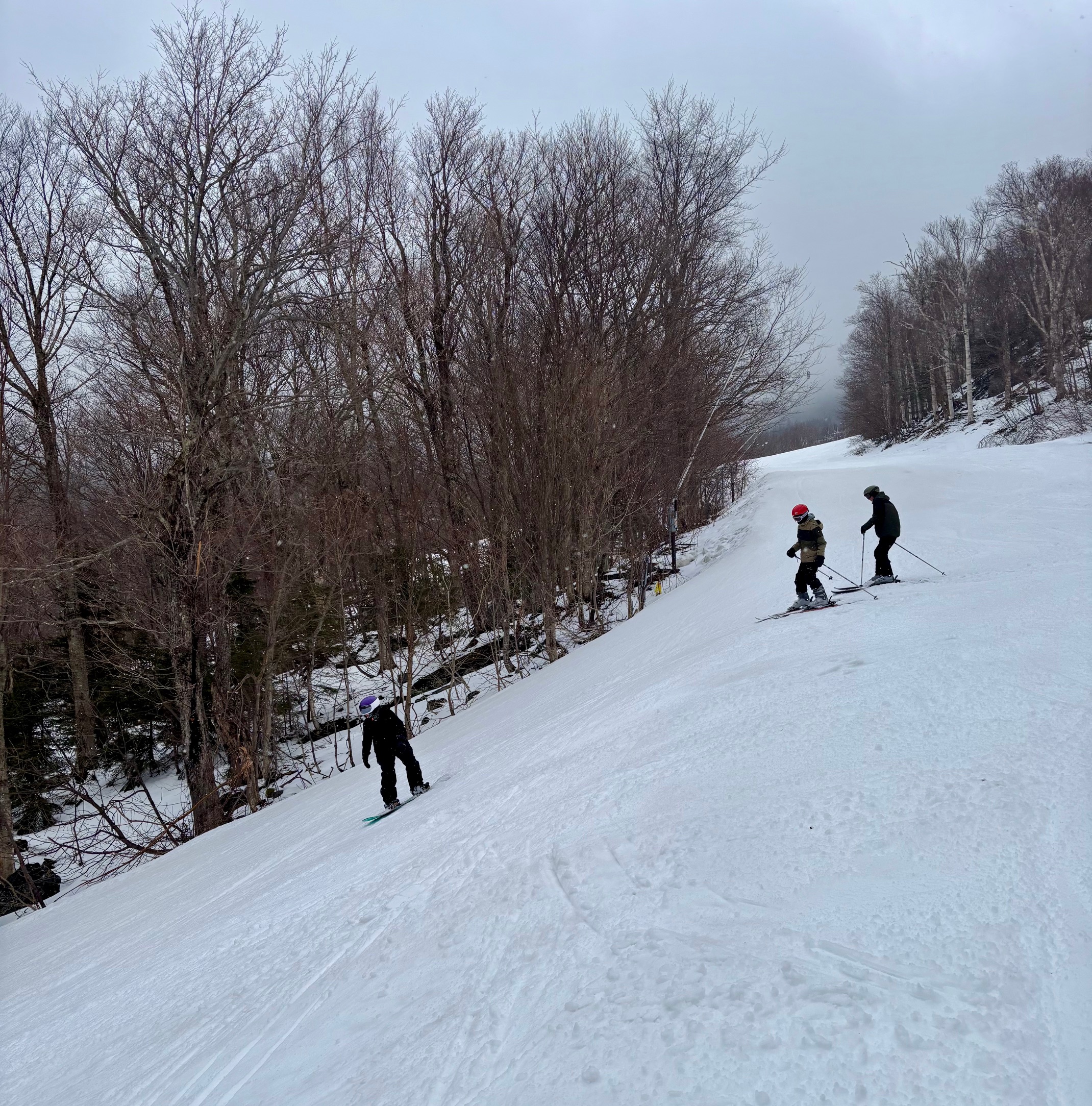
There is a Winter Storm Warning starting tonight and ending tomorrow night. Tonight’s forecast is periods of snow 2 to 4 inches. Tomorrow’s forecast is calling for snow and sleet before 3 pm, then sleet between 3 pm and 4 pm, then a chance of freezing and sleet after 4 pm. A high of 23 degrees at the base and 20 degrees at higher elevations, windy with a new snow and sleet total of 2 to 4 inches of accumulation possible. Tomorrow’s winds are southeast starting around 20 mph and will increase midday. Temperatures drop on Sunday night and the mix becomes all snow with 3 to 5 inches of accumulation possible. The snow continues during the day on Monday with another 1 to 3 inches of accumulation possible. Tomorrow we plan to have top-to-bottom skiing and riding on all 3 mountains with all 8 lifts operating. We have 77 out of 78 trails open with terrain for all ability levels. Surface conditions are packed powder and powder with average base depths of 14 to 50 inches.


Leave a Reply