Wild weather

3 Mountain Logo

Tonight’s forecast calls for snow showers with 2 to 4 inches of accumulation possible. The temperature rises tonight, and so does the wind speed. The strongest winds will be between midnight and 9 am tomorrow. The snow turns to rain and mix overnight, then turns back to snow tomorrow.

Given the potential impacts of this storm, we have decided to delay lift openings on Saturday until at least 9 am and possibly longer. This delay will give us time to assess and address any damage on the mountains and get outside safely. While unlikely, there is a possibility of power outages during this storm.

The first lifts to open will probably be Sir Henry’s conveyors.  Depending on wind impacts, we should eventually get Mogul Mouse, Sterling, Village, and Madonna II operating tomorrow.  Sunday will be a breezy day, but hopefully not enough to impact lift operations.
Share this post

Leave a Reply

Your email address will not be published. Required fields are marked *

  • Weather

    Current Conditions

    17°F Clouds (broken clouds)

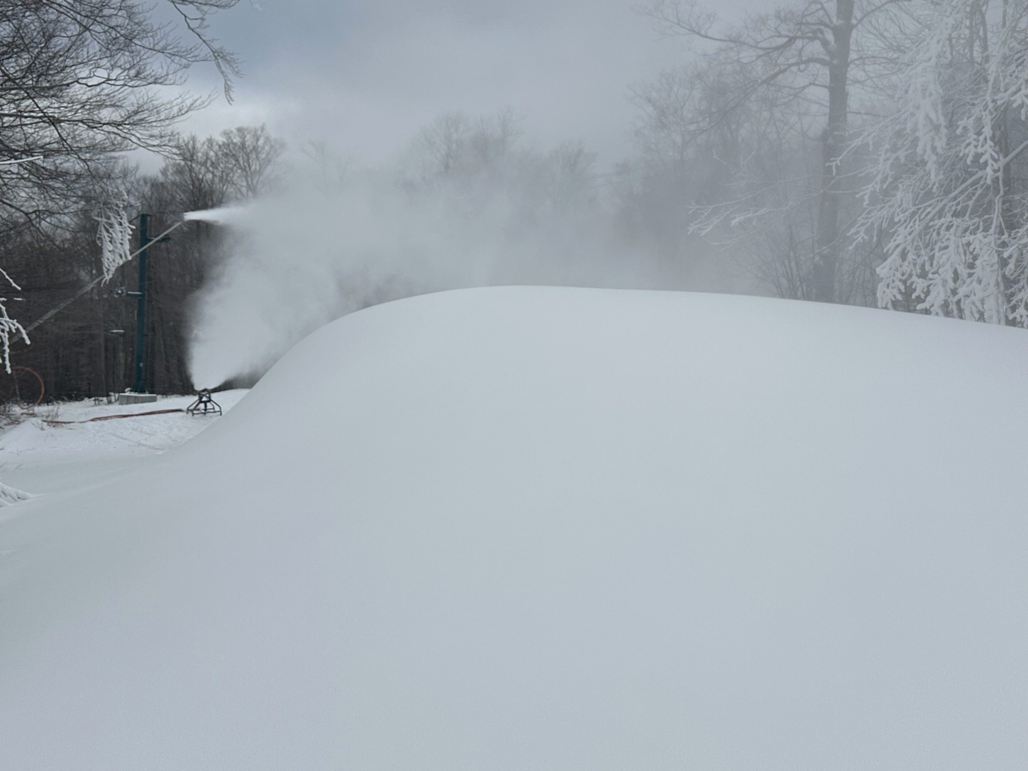
    Presently making snow on Garden Path, Lower Morse Liftline, and Madonna base area. Terrain for all ability levels.

    View Full Snow Report

    Extended Forecast

    Today

    12/15/24

    Clouds (broken clouds)
    Max 20°F / Min 8°F

    Monday

    12/16/24

    Clouds (scattered clouds)
    Max 33°F / Min 18°F

    Tuesday

    12/17/24

    Rain (moderate rain)
    Max 41°F / Min 31°F

    Trail & Lift Status

    28 out of 78 open

    Trails Open

    10 out of 78 groomed

    Groomed

    3 out of 8 open

    Lifts Open

    Snow Totals

    inches

    New Snowfall

    73″inches

    Season Total

    Snow Depths

    Natural Snow Depth: 8 to 14″

    Man-Made Snow Depth: 20 to 40″

    Snow Surfaces

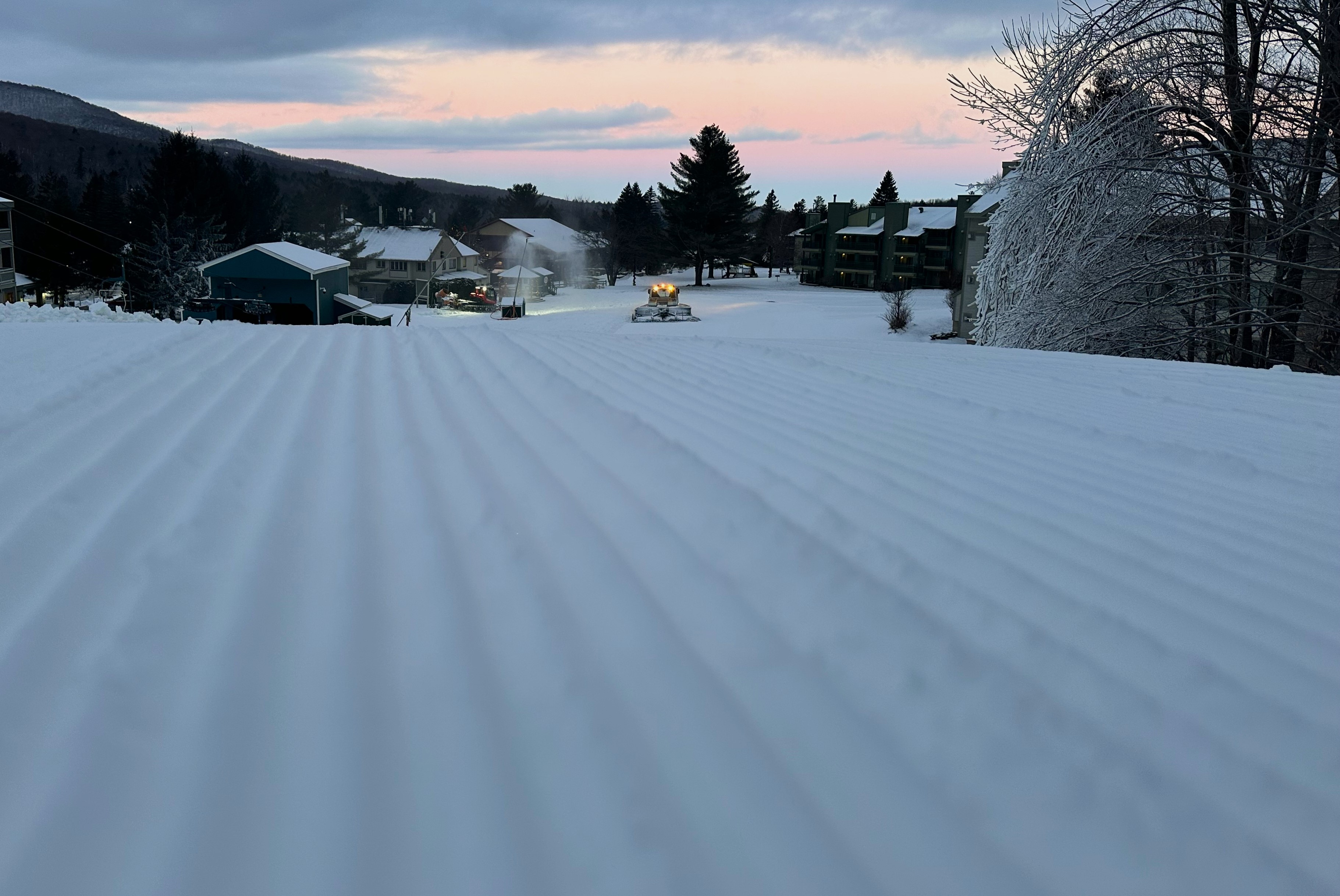
    Primary: Machine Groomed

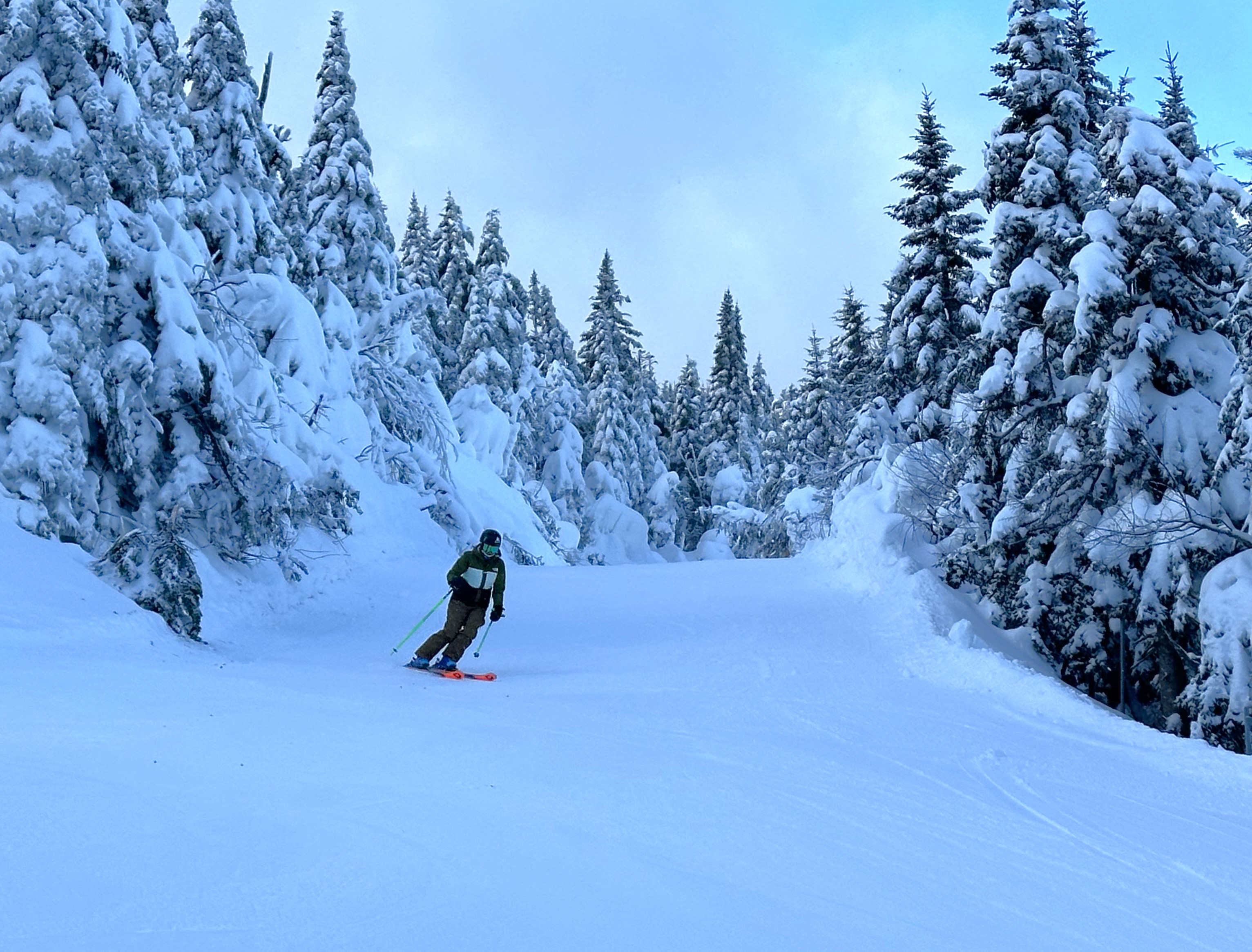
    Secondary: Packed Powder

Notifications

No notifications